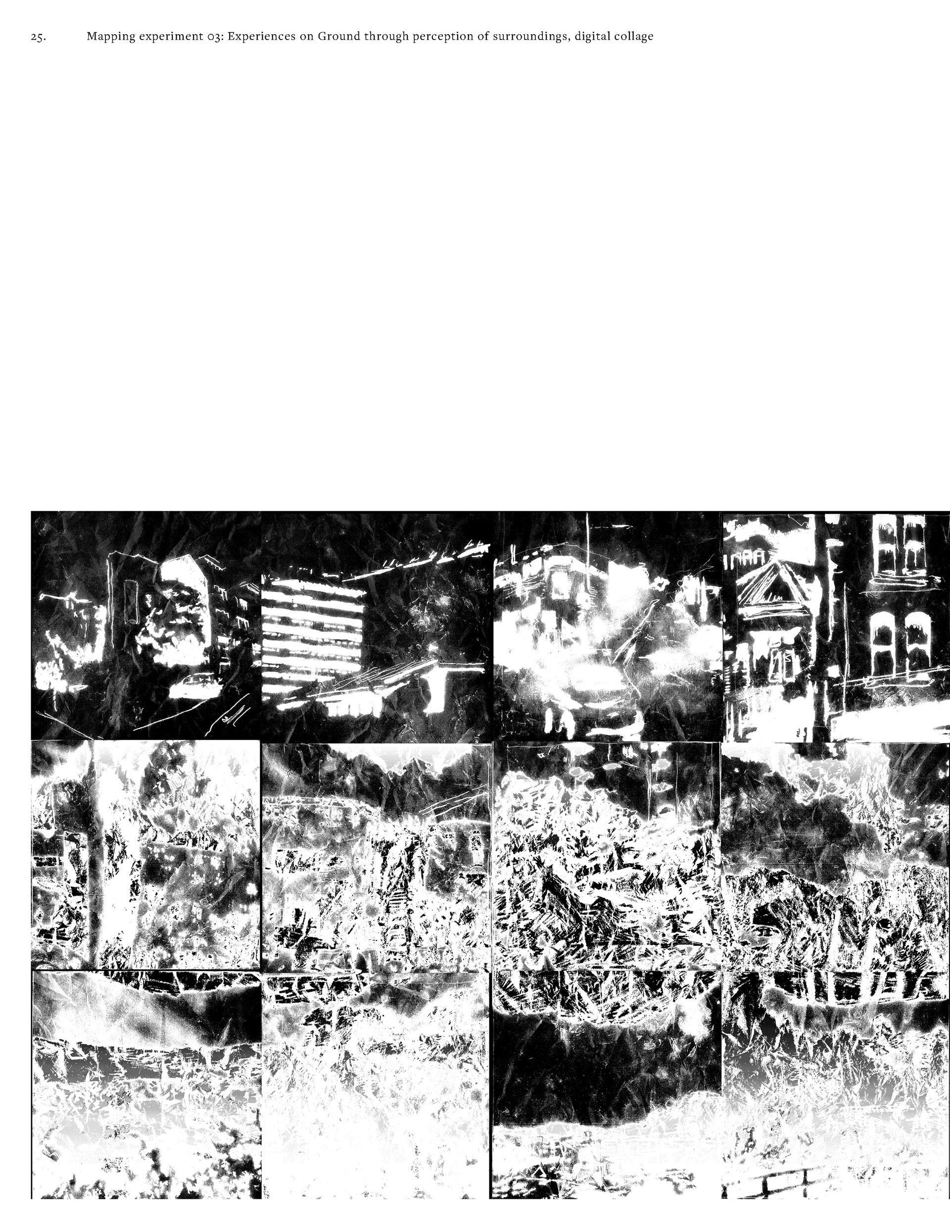
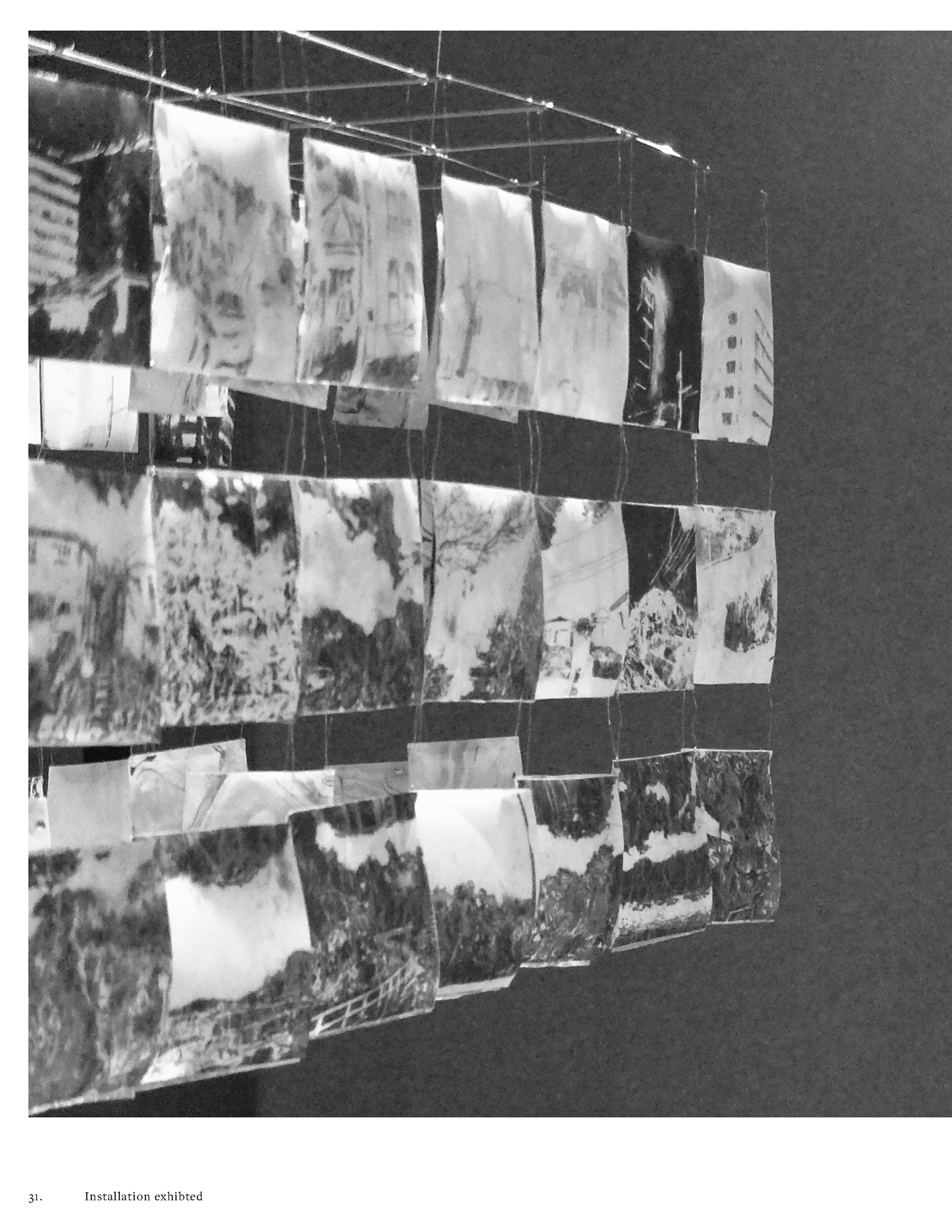
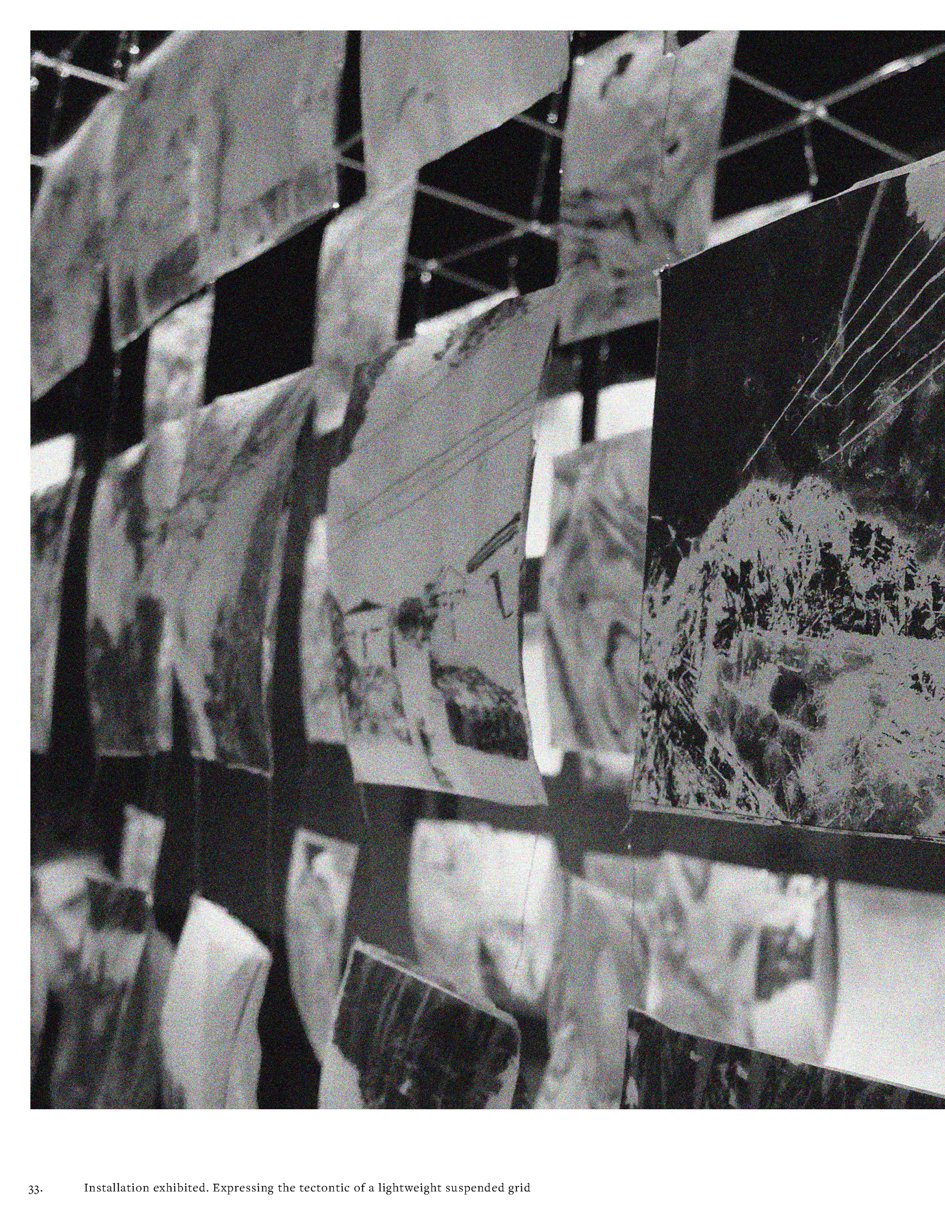
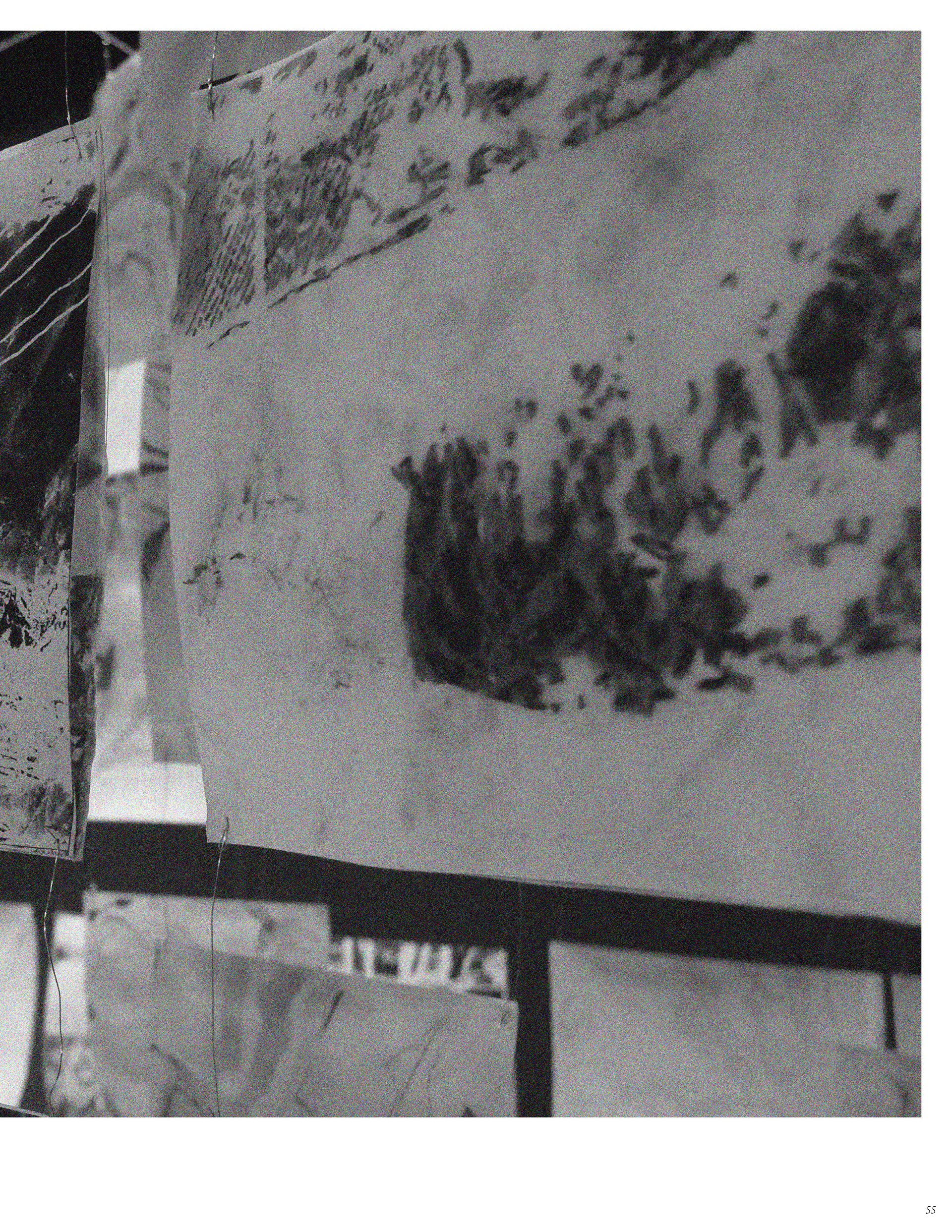
Drawing a Perspective
(Drawing Ground)
Spatial representation and technical precision of cartesian mapping practises disguise the fact that cartography practise is heavily bound in cultural processes and epistemologies, which seek to control the natural environment. Maps and surveys are representations of Ground depicting information which is biased toward human occupation and dominance over this natural resource. Rather than promoting a reciprocal existence with the ground, maps are constructions of the hands of a cartographer. 'Drawing a perspective' prioritises a personal experience toward Ground by drawing the surroundings I experienced while walking upon the ground.